

In this blog, we show you how to make this dramatic 3D map of Mount Fuji using ArcGIS Pro, a local scene and a little data from the Living Atlas.
Coordinates: Centroid vs Central

From Paper Maps to Mobile Solutions

Designing a mobile mapping solution for your organisation isn’t just about the platform, schema and data. It involves a process of collaboration with users, managers and setting up processes to ensure everyone is onboard and enthusiastic about its roll out. Afterall, it won’t be very useful if no one uses it. In this blog we impart our experience on the matter.
EsriAustralia webinar - STA logger and ArcGIS: Weed management simplified

Introduction to Slope and Aspect Analysis Using ArcGIS Pro - Part 2

What is the most remote city in the world? GIS to the rescue

TerraLab: Innovation Hall of Fame

Introduction to Slope and Aspect Analysis Using ArcGIS Pro - Part 1

Map Distortions - The Web Mercator Projection and The True Size of Indonesia:
Using GIS to create Large Globes

Deep Learning models and AI in GIS

Using ArcGIS Pro in cloud storage services

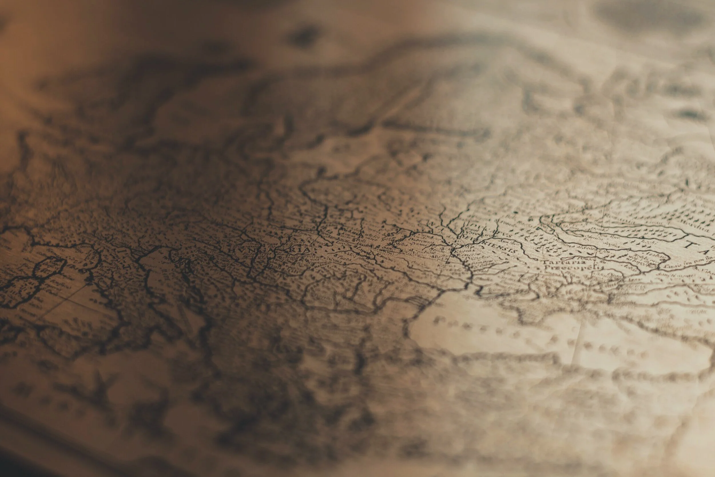
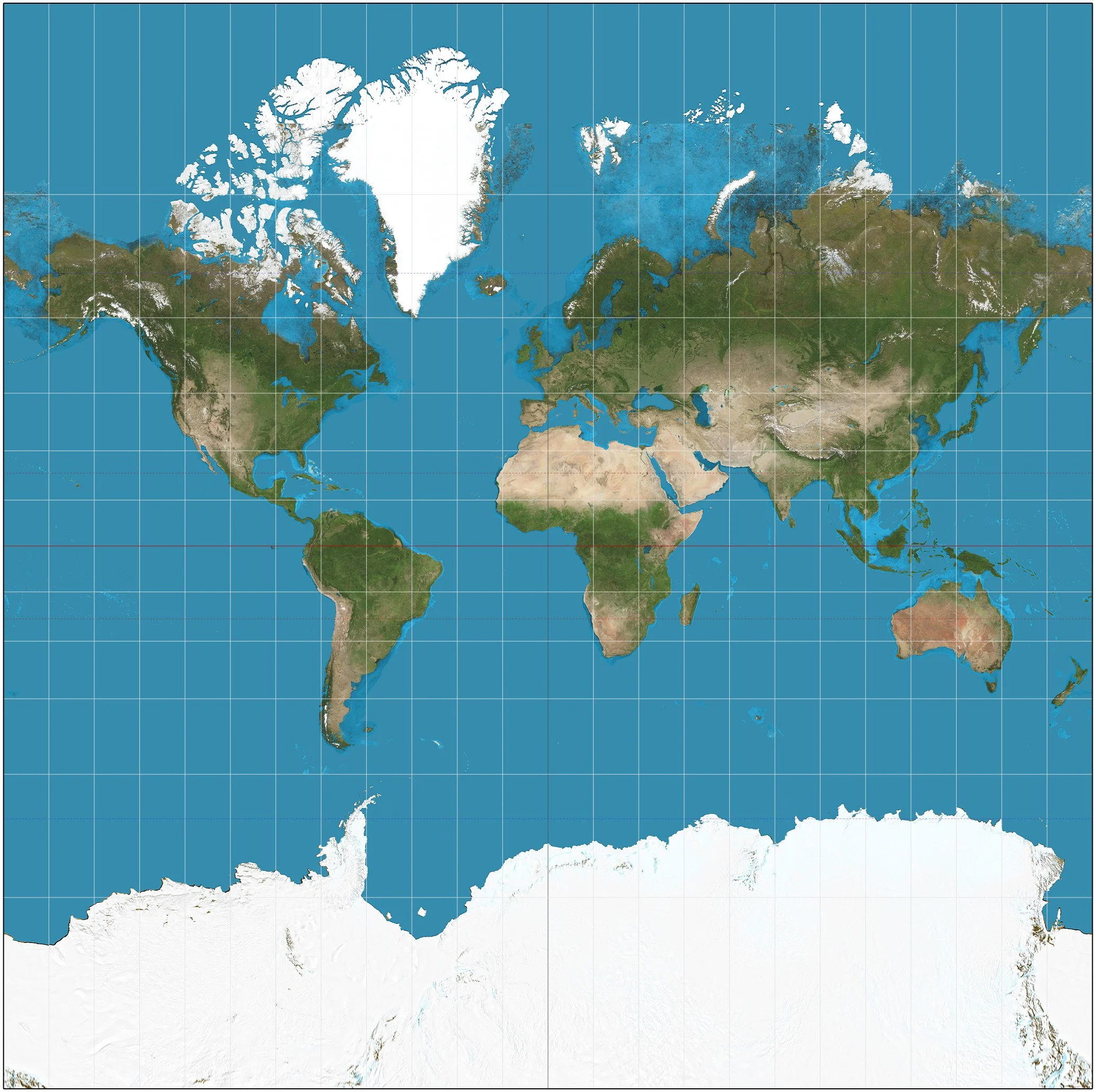
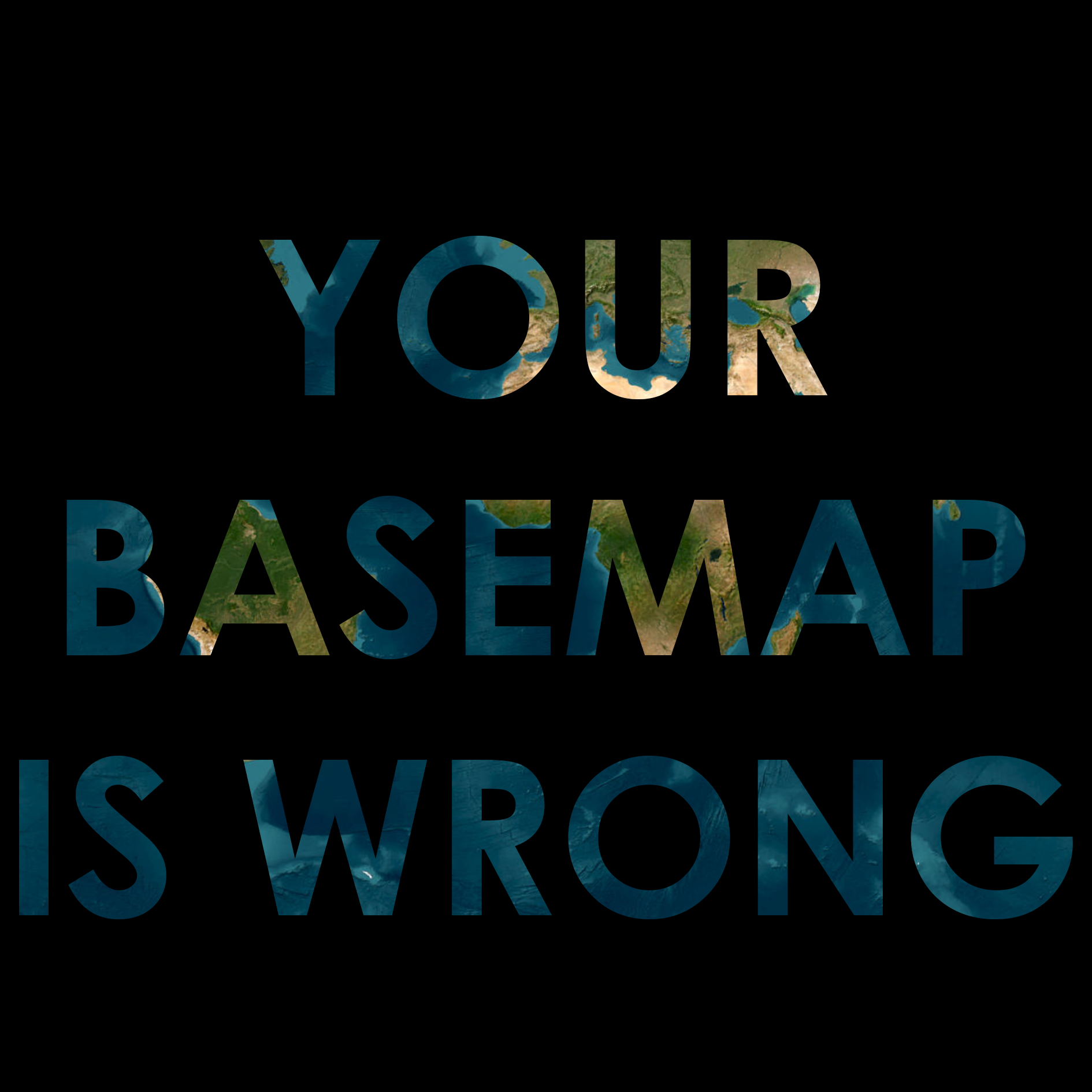
Why your imagery basemap is wrong
Navigating the Skies: Navigation Satellites

A Comprehensive Guide to Digitizing Hardcopy Maps

Navigating Precision: The Technological Landscape of GPS in Professional Applications

Not all GPS are equal. And when buying new gear, professionals run the risk of either not meeting their needs, or over-investing on a solution that is not appropriate for their field. In this blog, we discuss some of the main professional industries that utilise GPS, and some of aspects of GPS they should consider.


